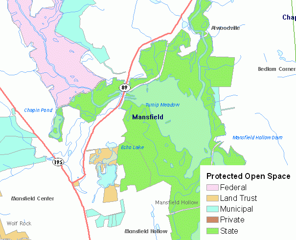
Protected Open Space in an inventory of open space as defined by the the Department of Environmental Protection Protected Open Space Mapping (POSM) project. Only parcels that meet the criteria of protected open space defined in the project are included and are defined as:
Data is not included for every town in Connecticut because information is collected by DEP from individual towns on an ongoing basis. As of July 30, 2010, Protected open space information is included for the following towns: Andover, Ansonia, Ashford, Avon, Beacon Falls, Berlin, Bethany, Bethel, Bethlehem, Bridgewater, Bolton, Brookfield, Brooklyn, Canterbury, Canton, Chaplin, Cheshire, Colchester, Colebrook, Columbia, Cornwall, Coventry, Cromwell, Danbury, Derby, East Granby, East Haddam, East Hampton, East Hartford, East Windsor, Eastford, Ellington, Enfield, Farmington, Glastonbury, Granby, Griswold, Haddam, Hartford, Hebron, Kent, Killingworth, Lebanon, Lisbon, Litchfield, Manchester, Mansfield, Marlborough, Meriden, Middlebury, Middlefield, Middletown, Monroe, Morris, New Britain, New Canaan, New Hartford, Newington, Newtown, Norfolk, North, Shelton, Stonington, Oxford, Plainfield, Plainville, Pomfret, Portland, Prospect, Putnam, Redding, Rocky Hill, Roxbury, Salem, Salisbury, Scotland, Seymour, Sharon, Sherman, Simsbury, Somers, South Windsor, Southbury, Southington, Sprague, Sterling, Suffield, Thomaston, Tolland, Torrington, Union, Vernon, Warren, Washington, Waterbury, Watertown, West Hartford, Westbrook, Weston, Wethersfield, Willington, Wilton, Windsor, Windsor Locks, Woodbridge, Woodbury, and Woodstock. Additional towns are added to this list as they are completed.
Use this information to view property included in the DEEP's POSM Project. Protected Open Space property can be used with other related cadastral or parcel level data. It can also be used with a variety of environmental data to assess and analyze critical habitats, natural diversity database areas, soil conditions, wetland soils, fisheries management areas, geologic and other environmental conditions at or nearby protected open space.
This is the best digital information available statewide that defines and maps protected open space, but it is not necessarily current and complete in every town collected. Also, it does not include protected open space information collected during the first phase of the POSM project for the towns along the Connecticut coastine due to issues related to data quality and completeness. Data quality and completeness improved during the second phase of the POSM project. The POSM data is not meant to be used for legal boundary purposes. Research and data collection dates vary for each town. For more information regarding individual town data research and collection dates, contact the Department of Environmental Protection at 860-424-3016. Due to the reliance on a combination of digital parcel data and course and distance measurements from A-2 certified boundary survey maps to define parcel boundaries, the map accuracy exceeds that of 1:24,000 scale (1 inch = 2,000 feet) mapping, but it is not known by how much.